the experiment
In order to make any sort of meaningful map or information visualisation, I think you need a lot of data, especially when it is related to the unpredictable nature of humans.
Manually capturing that much information is for people with more time and patience than me.
I’d like to start out by pointing out two things. I have no idea where this will lead to, and that there is an ulterior educational motive at work - I don’t know how to do any of this so I thought I’d get down to it and learn.
I’d like to measure how long it takes for people in a fairly uninteresting area of street to pass from one side of the cameras frame to the other, and then make subtle changes to the environment to see if this affected their behavior.
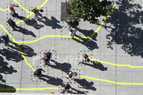
Changes like lines marking territory, the addition of mirrors, blasts of hot air etc. might or might not affect the behavior of the people passing.
In order to capture the data I’m going to have a go at making a piece of person tracking software using blob detection, and then hopefully I’ll be able to mine that information and extract vector paths and times.

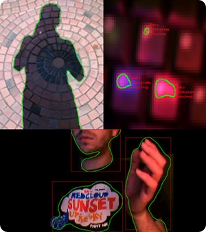
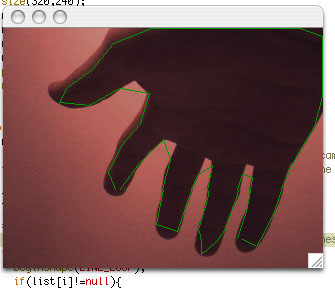
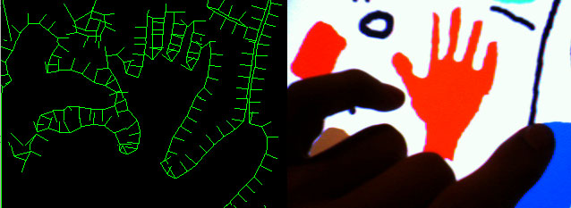
the v3ga.net Blob Detection library has been used for projects like shadow monsters (above) and a few other projects
the myron webcaXtra library is a possible alternative, but i haven’t researched the relative merits of the two options

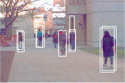
Jason Bruge and White Wing Logic used bluetooth rather than image based methods to track people over London bridge and display the results on tower bridge. The possibilities of bluetooth are great, they allow tracking of specific people even if they go out of sight, but the technology is much more expensive and complicated.
")